|
Michael A. Stecker
|
|
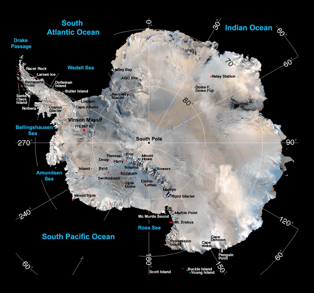
Satellite map of
Antarctica
Antarctica is the
highest, windiest,
coldest and most arid
continent on earth.
Most of the continent
lies south of the
Antarctic Circle -- an
imaginary circle on
the surface of the
earth at 66 1/2° South
latitude, i.e. 23 1/2°
north of the South
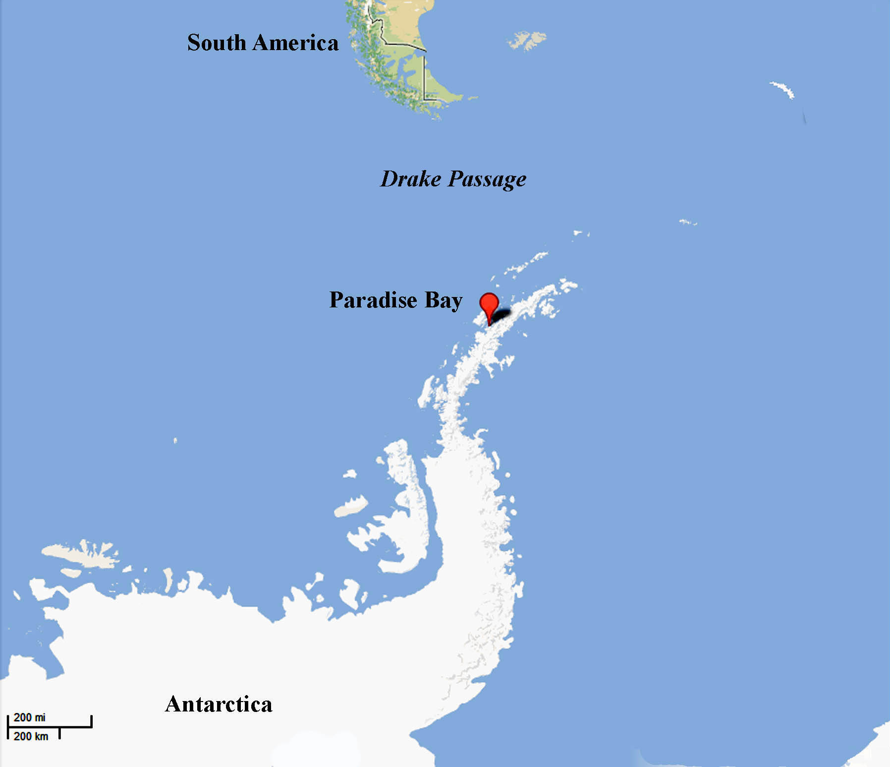
Pole. However
about half of the
Antarctic Peninsula
(just south of South
America) is north of
the Antarctic Circle.
The three southern
oceans -- Atlantic,
Pacific and Indian
converge on
Antarctica. The
body of water between
the Antarctica and
South America is the
Drake Passage -- one
of the roughest
waterways in the
world. The
largest research
station lies near Mc Murdo Sound and the
Ross Sea. Nearby
is the volcanic peak
Mount Erebus (12,444
ft) on Ross Island.
|
|
Basic Antarctica Data
Continental Rank
Fifth-largest continent, following Asia, Africa, North America, and South America Larger than Australia and the subcontinent of Europe
Relative Size
Area
Coastline
Climate
Surface
Terrain
Elevation extremes
The Vinson Massif at
16,067 feet (Lat:
78°35'S, Long:
85°25'W) lies along
the southern part of
the
main ridge of the Sentinel Range. It was named for Carl G Vinson, a Georgia congressman and a major force in 20th century US Antarctic exploration. It was first climbed in December, 1966.
Natural
resources
Flora
Natural
hazards |
|
|
|
|