|
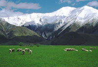
Slide Show The South Island is
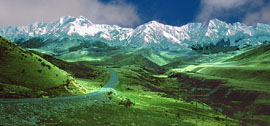
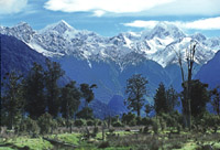
more mountainous than the North. This is especially evident along almost
its entire length from near its west coast to its center where the
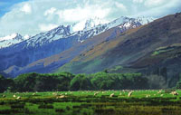
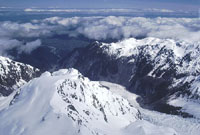
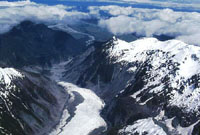
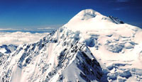
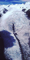
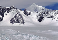
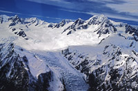
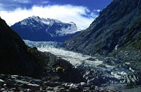
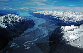
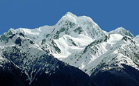
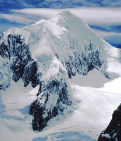
Southern Alps are found. Mt. Cook at 3754 meters (12,313feet) is the
highest peak. Many of these mountains have glaciers; the most famous are
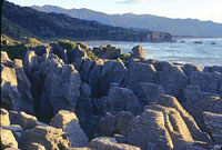
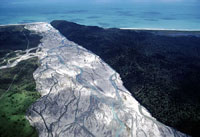
the Tasman, Murchison, Fox and the Franz Josef. The west coast is very
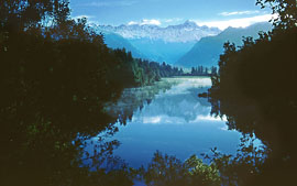
moist because of sea winds from the Tasman Sea. Close to the northern
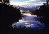
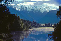
section of the Southern Alps is Westland National Park and beautiful Lake
Matheson. The most southwesterly portion of the island is Fjordland
National Park (discussed and pictured on my Milford
Sound and Fiordland National Park Photo Page) which is home to
magnificent Milford Sound. The park is mountainous, wet and indented by
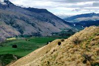
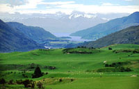
numerous glacially carved fjords. However, the mountains form a barrier to
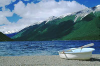
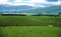
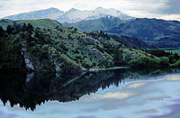
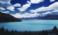
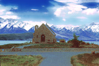
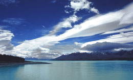
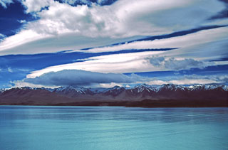
the moist winds and the lands to the east are drier. Several lakes like
Wanaka, Tekapo and Pukaki are found in this region. On the northeast edge
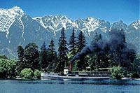
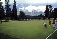
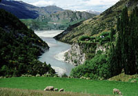
of Fiordland lies Lake Wakatipo and its charming lakeside resort
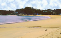
Queenstown -- gateway to Fiordland. Along the east coast are the island's
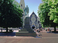
cities. In the east-central area, on the edge of the Canterbury Plain,
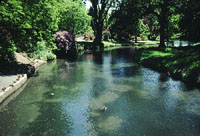
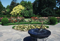
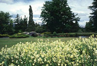
lies the "most English" of New Zealand's cities -- Christchurch. The River
Avon flows through its center as well as its beautiful Hagley Park.
Further north are the smaller towns of Nelson and Cheviot Hills, Nelson
Lakes National Park and the coastal Abel Tasman National Park. Also on the
east coast but much further south is the small city of Dunedin which is
Scottish in character. |
|
South Island Photos |