|
|
|
|
|
|
|
|
||||
|
|
|
|
||
|
|
|
|
||
|
|
|
|
||
|
|
|
|
||
|
|
|
|
||
|
Michael A. Stecker
Places Index
You Tube
"Egypt
1985" slide
show at: |
|
|
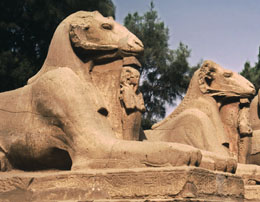
About 400 miles south of Cairo is an
eastern bend of the Nile River. It is here that Luxor (ancient
Thebes) is located. Actually, what most people think of as Luxor is
really three different areas.
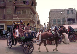
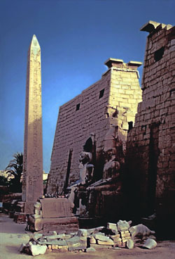
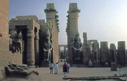
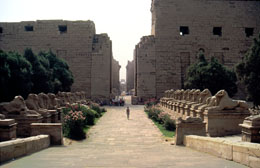
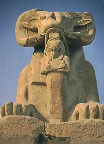
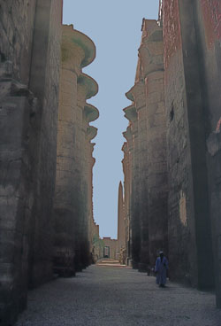
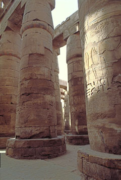
On the east bank, where the life-giving sun rises, is the "City of the
Living". Here is the town and the Temples of Luxor and Karnak.
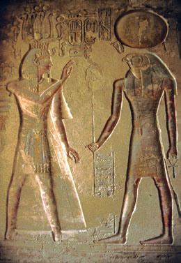
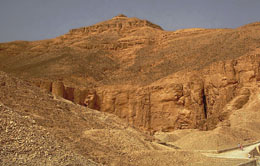
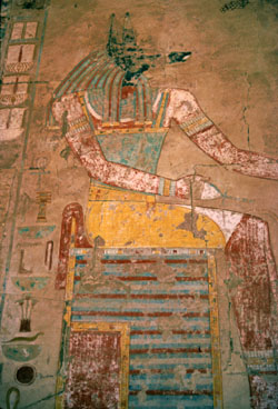
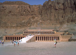
On the west bank, where the sun sets, is the "City of Dead" where one
finds the Colossi of Memnon, the tombs of the Valleys of the Kings and
Queens, the tombs of the Nobles, and Queen Hatshepsut's mortuary temple (Deir
al-Madina). |
|
|
Mouse click on any of the thumbnail images below for an enlargement
|
|
|
|
|
|
|
|
|
||||
|
|
|
|
||
|
|
|
|
||
|
|
|
|
||
|
|
|
|
||
|
|
|
|
||